You are using an out of date browser. It may not display this or other websites correctly.
You should upgrade or use an alternative browser.
You should upgrade or use an alternative browser.
Amicalola: Last Trip of 2008
- Thread starter michaels
- Start date


Hilldweller
SE Expedition Society
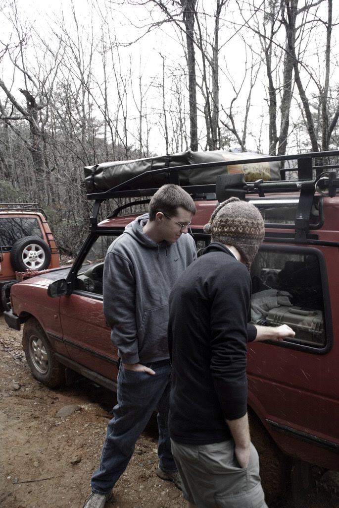
The wife and I don't have a 3-day weekend but we'll be camping somewhere close to Amicalola that weekend... ...but not in the sploogey weather that you had the past couple of days...michaels said:anyone want to get together something in georgia/tennesee for MLK weekend?
I bet that Old Bucktown Rd was slicker than cow poo on linoleum. :cow: Looks like you had a good time though.
But where were the wimmenz? It's cold in the hills without them...
There are several nice spots in the forest between there and the Ranger school.
We're likely to head out early on Saturday morning; anybody that wants to meet and caravan in (off I-575) give a holler.
michaels
Explorer
Hilldweller said:The wife and I don't have a 3-day weekend but we'll be camping somewhere close to Amicalola that weekend... ...but not in the sploogey weather that you had the past couple of days...
I bet that Old Bucktown Rd was slicker than cow poo on linoleum. :cow: Looks like you had a good time though.
But where were the wimmenz? It's cold in the hills without them...
There are several nice spots in the forest between there and the Ranger school.
We're likely to head out early on Saturday morning; anybody that wants to meet and caravan in (off I-575) give a holler.
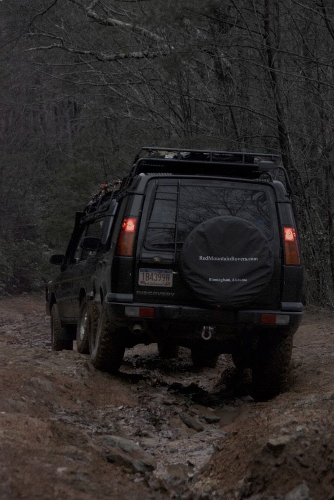
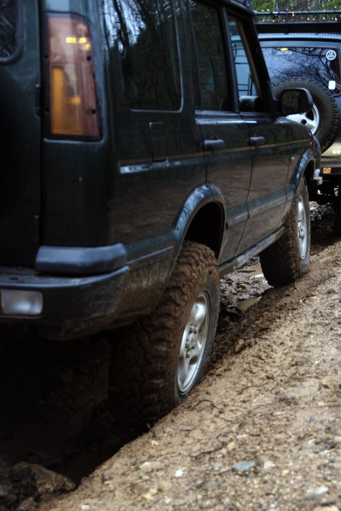
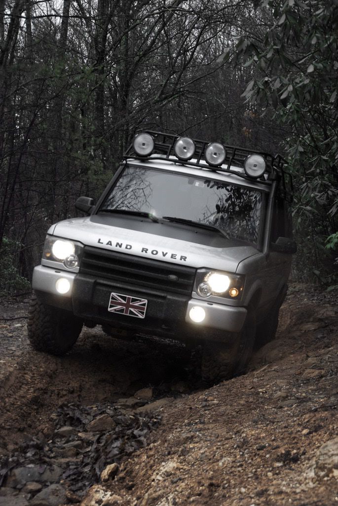
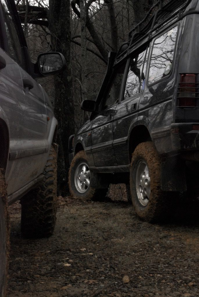
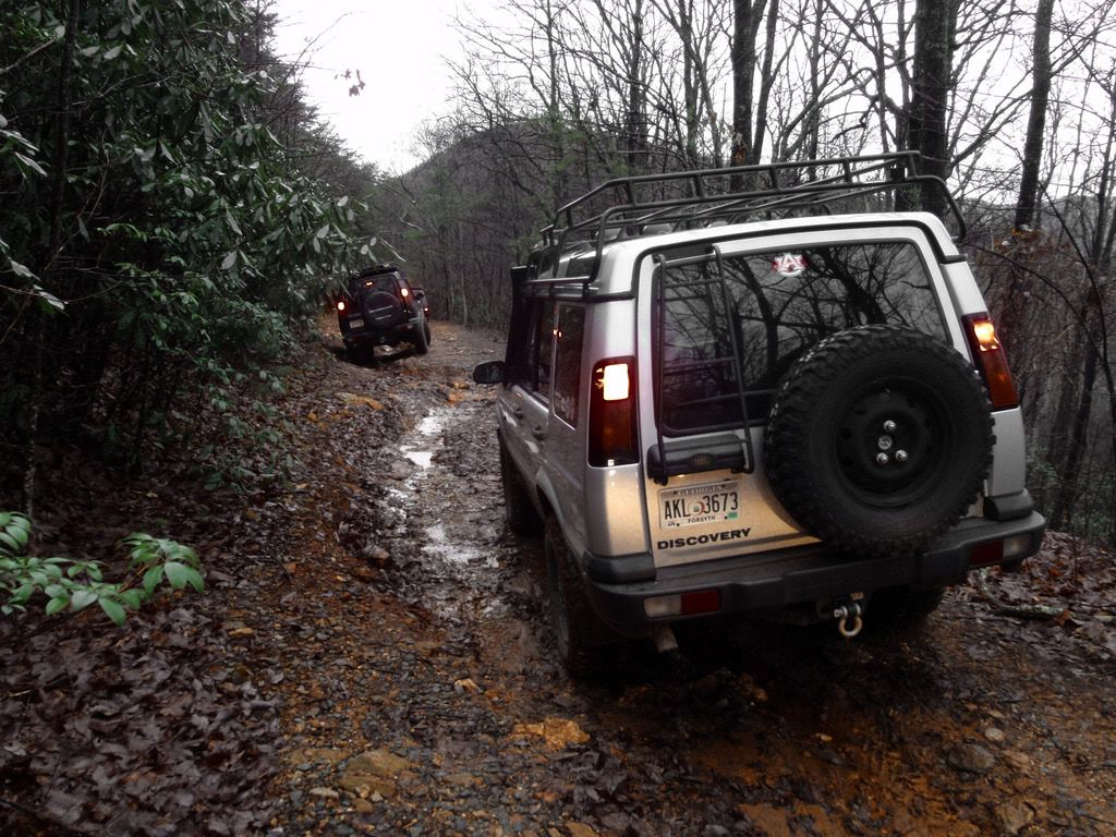
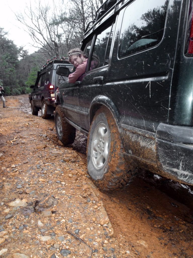
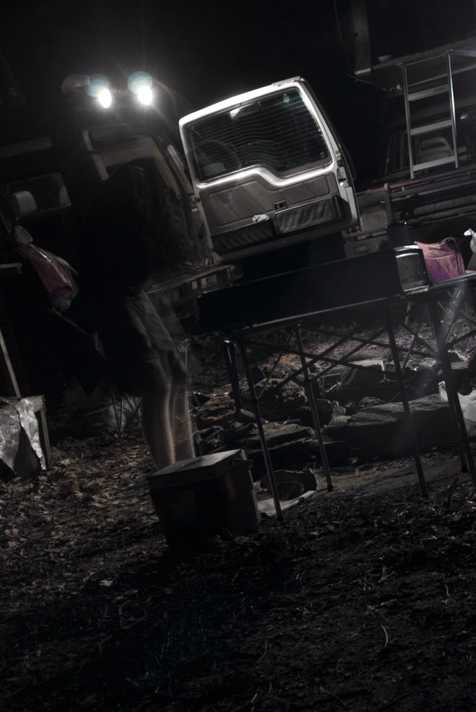
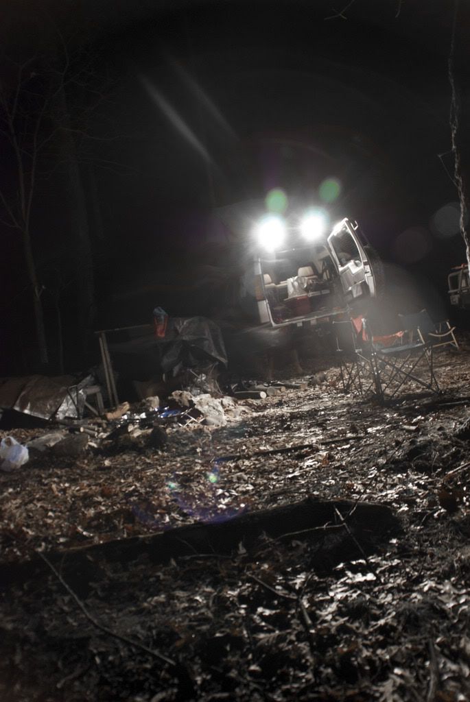
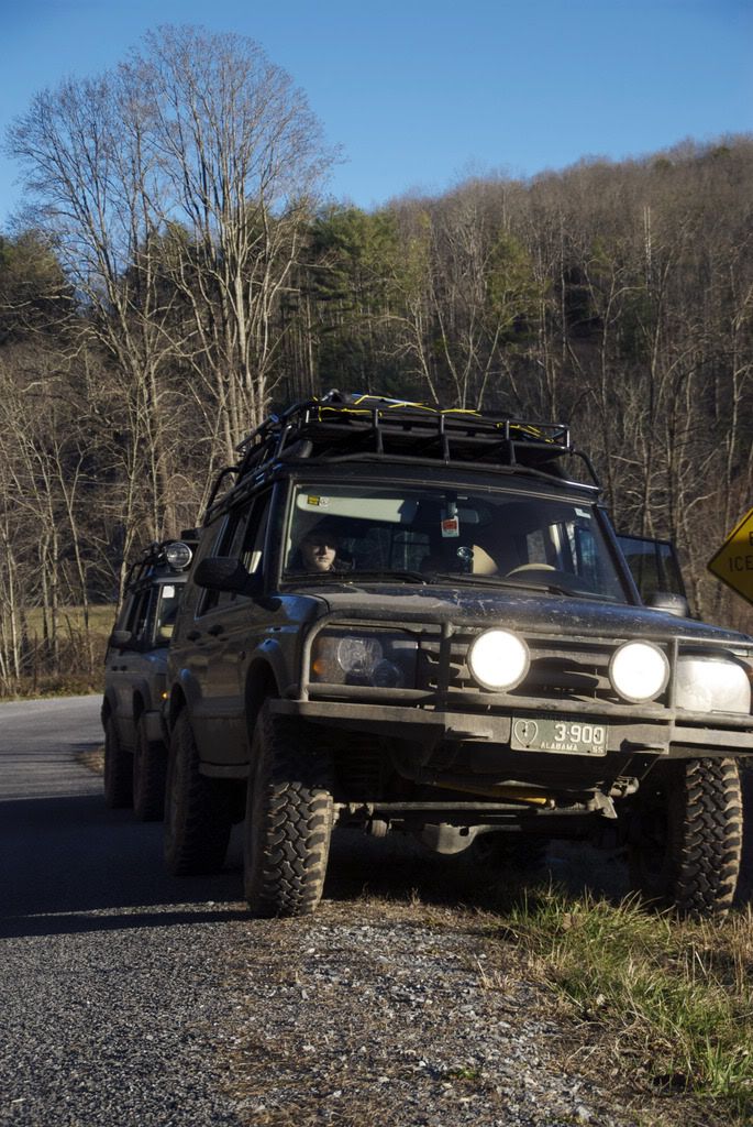
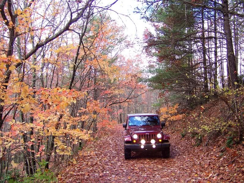
haha! you know the trail! yes. going down old bucktown was one thing, but going back up was a different story! we had to counterweight and push trucks up one tough section, but everything else was fine.
we saw some guy trying to take his wife and two old women down old bucktown in a stock Expedition. we kindly let him know he'll never make it if he tries. lol.
i may take you up on that, depending on what i decide. what do you drive?
and the weather wasn't that bad! it made for some sweet pictures.
Last edited:
sandalscout
Adventurer
Sweet, looks like a fun area!
Storz
Explorer
pnorvell said:Those are all legal forest roads, just not maintained.
Very cool, might have to venture out that way sometime and check that area out!
michaels
Explorer
EricG said:How do you get there from Atlanta? Looks like a sweet place.
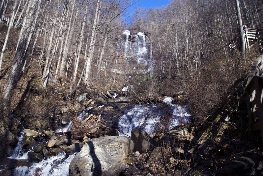
There's a national park at the southern end of the Forest. you can get in through there. google search "Amicalola Falls" or Amicalola national forest.
there are entrances off I-400 (the way we went), and I-575 (or was it I-515 peter?)
we'll probably do another weekend trip in February there. so anyone is invited.
Hilldweller
SE Expedition Society
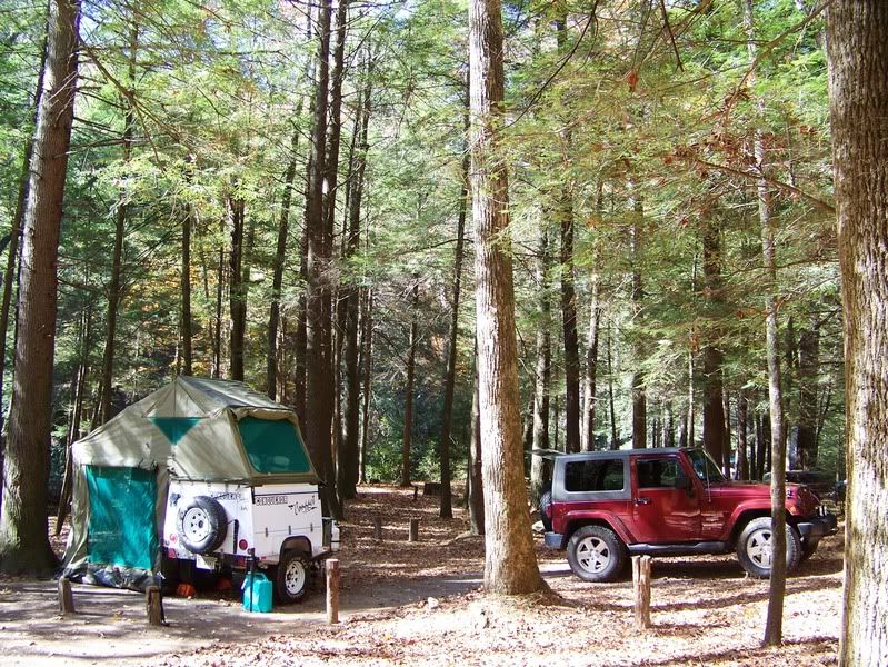
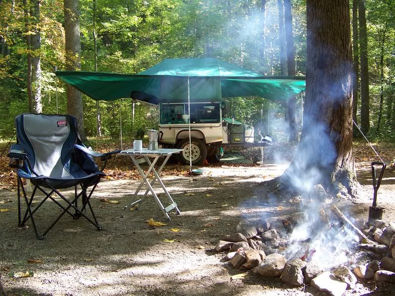
Go down old Bucktown, make a right on Roy, then a right on fs-58 --- I like this campsite. Here's my Jeep and trailer:michaels said:i may take you up on that, depending on what i decide. what do you drive?
Go to Amicalola Falls State Park; you don't have to pay to enter if you tell them you are going into the National Forest. Drive in, make a left toward the campsites, turn right at the top of the hill by the cabins. The road gets snottier and snottier as you go along.EricG said:How do you get there from Atlanta? Looks like a sweet place.
When you get to the T, make a left for Old Bucktown (if you're brave) or a right to go down fs-28.
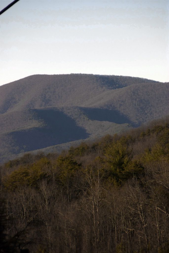
There's camping at the top of Amicalola, both pay-sites and unimproved. There's much better remote sites within the forest though.
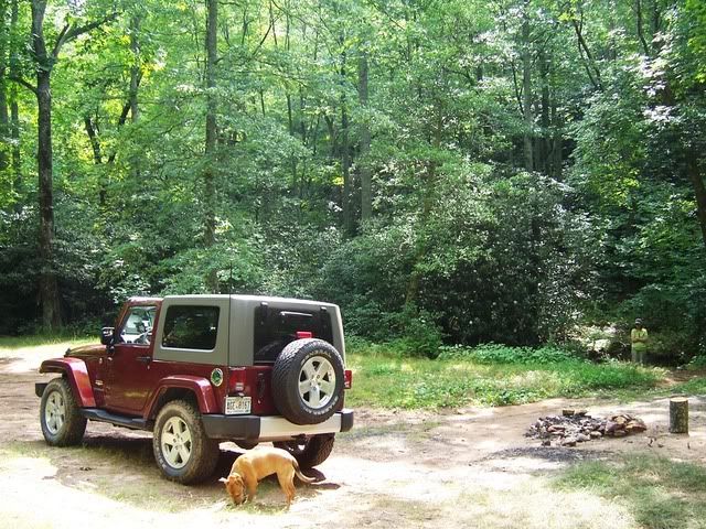
This is my stomping ground...
Close to Camp Merrill:
Off 77a:
Free site at the top of Amicalola:
Hilldweller
SE Expedition Society
Do you mean fs-42? The road to Springer Mountain?michaels said:Bill, i think F.S. road 28 was the one we were looking for. do you know of "duck road"? that was the last trail we were searching for. it was supposed to be off double gap road where you turn a right off roy, i believe.
i love that place.
It's a pretty drive but there's no camping or wheeling to speak of... ...and Springer is where the A.T. starts; lots of traffic there.
There was a logging road that ran between 42 and Old Bucktown but the forest service didn't pick it up; I think you can still take a horse along it or hike.
Take 28 down and follow it back into the forest after the old church. It branches off in a little while and you can either follow the "staircase" up fs-77 or go to the right toward Camp Merrill --- that's where they train the Army Rangers for mountain survival. Some interesting roads there and the Rangers might wheel with you a bit in their H1's.
If you have a good map, look for fs-141 and take it away from the base; that gets really snotty in there...
michaels
Explorer
Hilldweller said:Do you mean fs-42? The road to Springer Mountain?
It's a pretty drive but there's no camping or wheeling to speak of... ...and Springer is where the A.T. starts; lots of traffic there.
There was a logging road that ran between 42 and Old Bucktown but the forest service didn't pick it up; I think you can still take a horse along it or hike.
Take 28 down and follow it back into the forest after the old church. It branches off in a little while and you can either follow the "staircase" up fs-77 or go to the right toward Camp Merrill --- that's where they train the Army Rangers for mountain survival. Some interesting roads there and the Rangers might wheel with you a bit in their H1's.
If you have a good map, look for fs-141 and take it away from the base; that gets really snotty in there...
no. we skipped spring mountain. we stayed on the trail with the near vertical drop off, lots of 1' to 2' tall rocks and mud at the top, then went down old bucktown until we ended up on roy and all those houses, and made our way down double gap until we hit hwy60. we tried to go to beasely knob, but they closed early this season due to the rain that weekend.
i'll definitely write those roads down. perhaps if i get enough money to come up for MLK then you could show me around those forest service roads?
OR is there anyway i could ask you to make it out of google maps or something? THAT would be a huge benefit for me to see where exactly your talking about.
when we printed off our maps they didn't print out the pictures, only the directions, so we couldn't find "duckroad" (that's what it's nicknamed by locals. it's not the actual name)
Forum statistics
Members online
- NomadQ
- camperthingy
- dizzydom
- Joker
- Camper123
- Verkstad
- ajn507
- taco2go
- CJD
- ripperj
- topofpalomar
- gamucm
- Milspec Longhorn
- lunchwagon
- Grandbymaster
- gregmchugh
- matttahoe53
- Skinhyfish
- PathNotTaken
- Catalanbull
- LEMKER
- NOPEC
- NYLASurf
- ajb526
- ocex
- 85_Ranger4x4
- lucernech
- MatttheHatt
- SDDiver5
- Neversatisfied
- noey
- tc275
- Antwon412
- habakuk
- wild1
- retiredruralmailman
- sundaeman
- scaredsharp
- Dumpolina
- scoolbubba
- gkieser92
- Lynx
- EMIEXPLORERS
- Fefrank
- donots06
- Savagenut
Total: 535 (members: 52, guests: 483)