michaels
Explorer
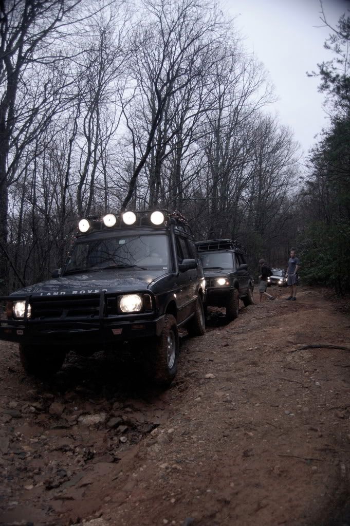
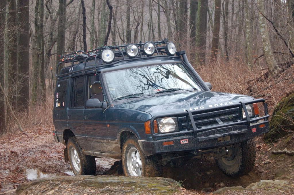
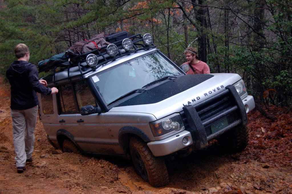
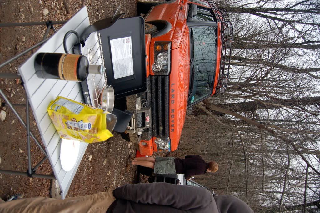
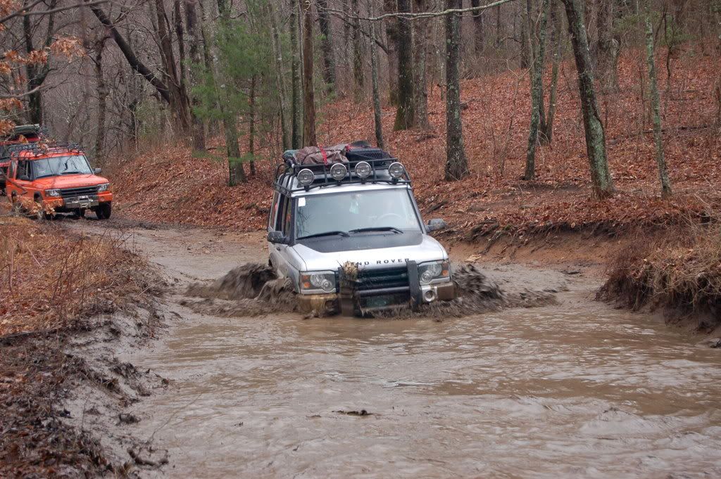
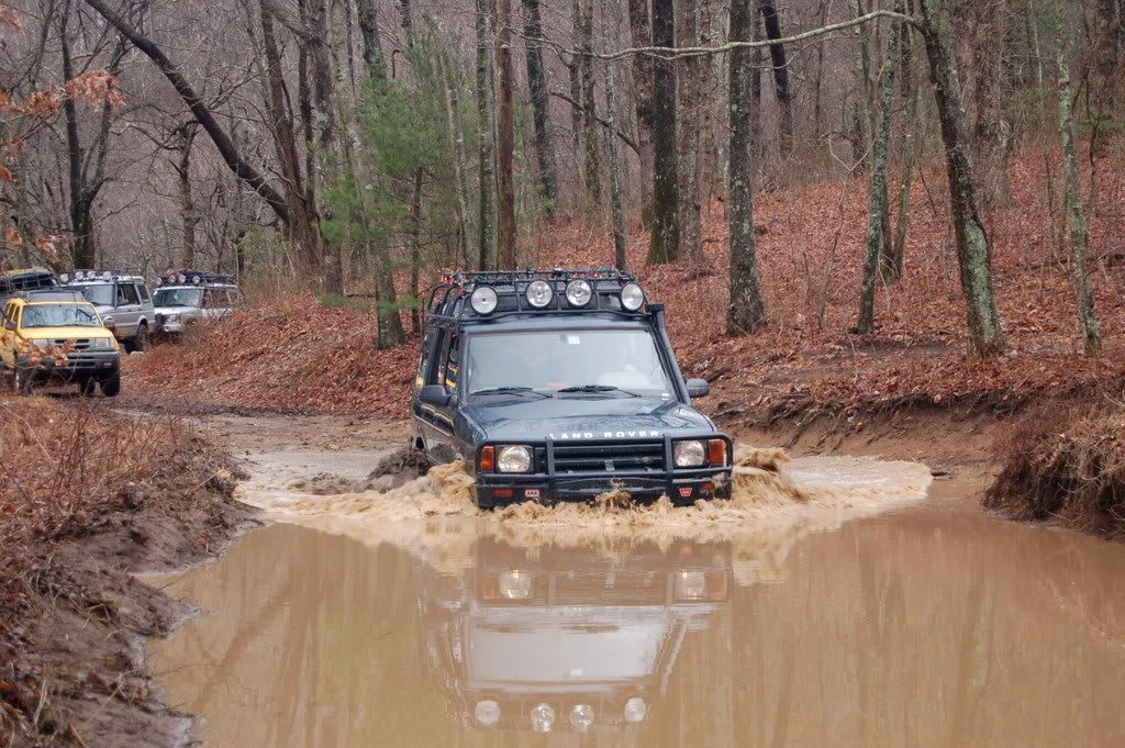
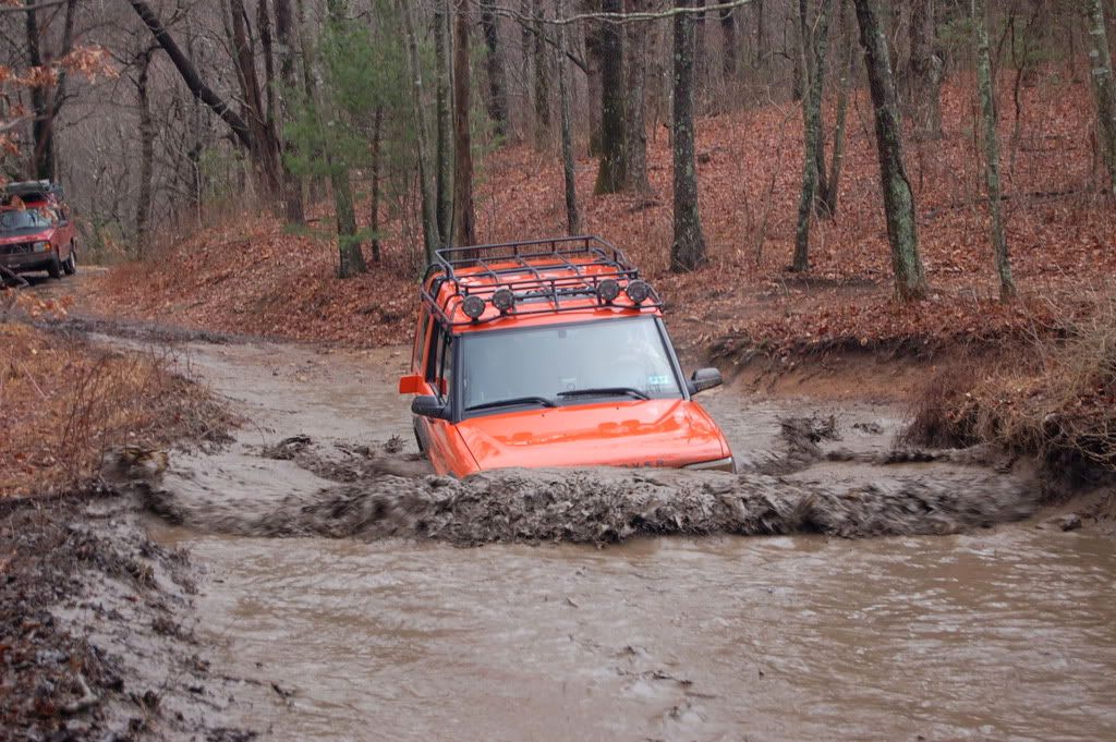
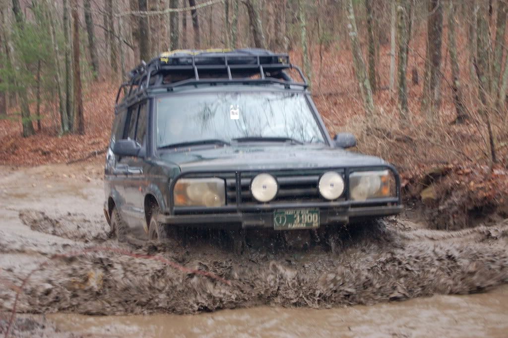
here is our map of that weekend. we started at D, ran it to somewhere in between C and E, and turned around to go to A to camp near the baptist church hidden in the woods and to see the Falls. then we turned back and went all the way way down bucktown through E, I, and F. we ended up not finding I and F, and drove on to 60, where we recognized our campsite for SOLAROS land rover rally ( SAE 2008) and ended up driving the roads we knew into Blairsville in order to see if Beasley Knob was open, which it wasn't.
do you know the roads I and F? we were going to run I to G and H, the go from there to F and back to the HWY
We also ran into ZOLO on here and he had a very nice tacoma. apparently, he ahs a wealth of trail info of this area.
do you know the roads I and F? we were going to run I to G and H, the go from there to F and back to the HWY
We also ran into ZOLO on here and he had a very nice tacoma. apparently, he ahs a wealth of trail info of this area.