IntrepidXJ
Explorer
October 31, 2009
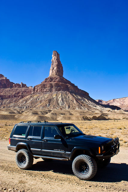
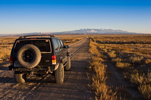
Since Amanda is in Illinois for the next week, I decided that I would head out to the San Rafael Swell for Halloween this year. I was originally planning on camping and making it a weekend trip, but since a cold front came through earlier this week, I changed my mind and didn't feel like camping anymore, so I made it a day trip instead")
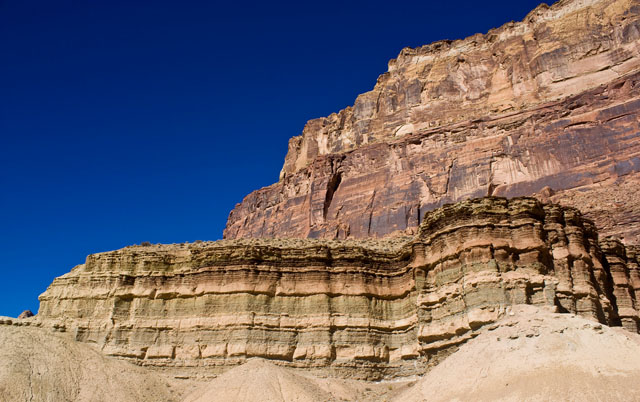
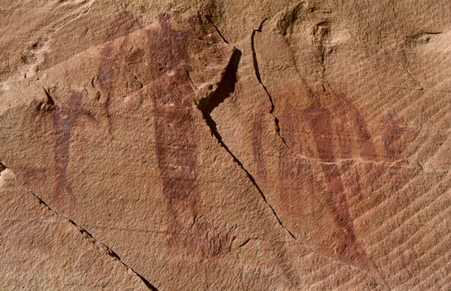
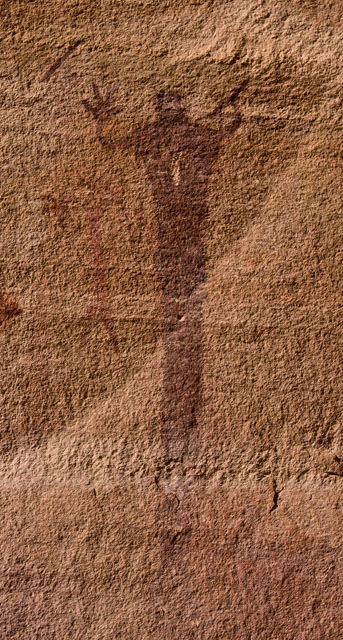
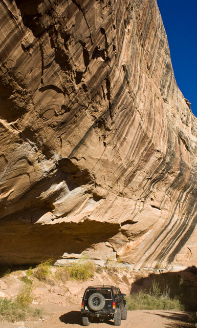
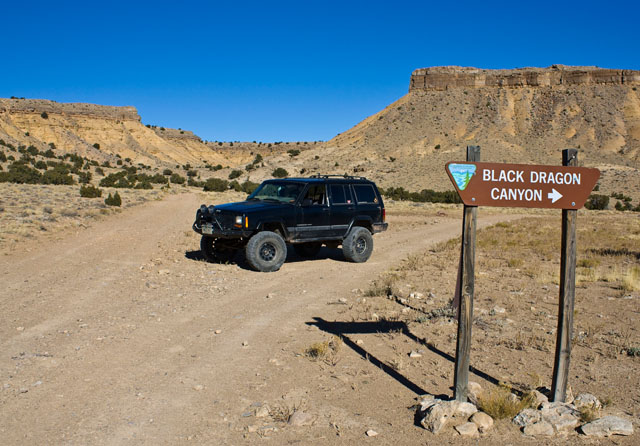
My first destination was a rock art panel that I have been meaning to get to for a while. I've driven by and near Black Dragon Canyon a number of times, but this time I would make it a point to check it out.
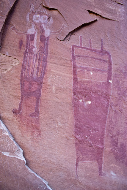
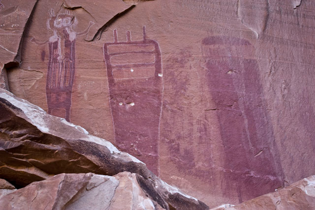
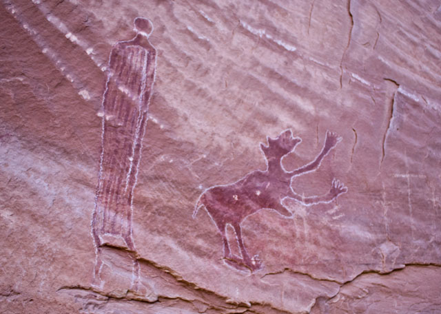
Pictographs in Black Dragon Canyon (unfortunately at some point in the past, someone thought it was a good idea to outline some of the pictographs in chalk).
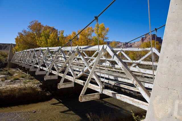
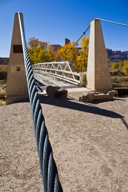
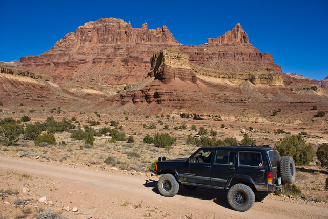
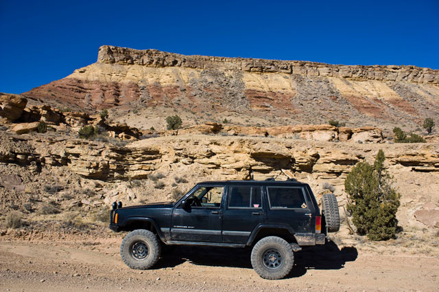
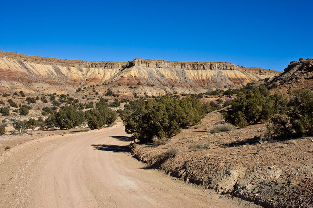
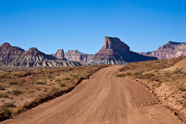
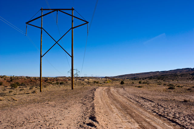
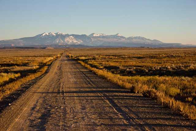
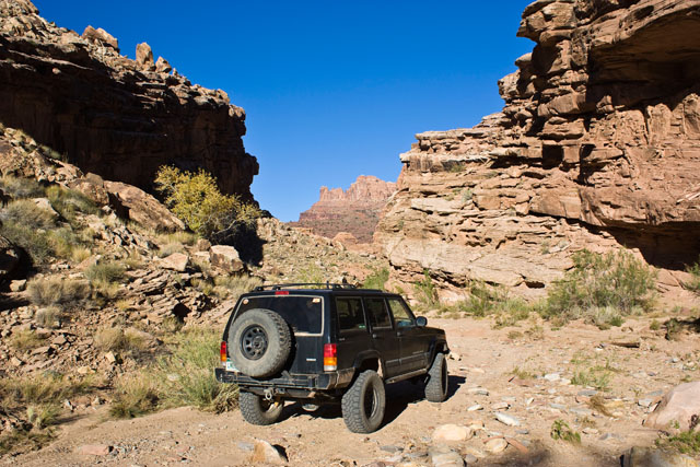
After leaving Black Dragon Canyon and following the wash for a little ways, I met up with the ************** Benches trail and made my way down the spur that used to lead to Sulphur Springs.
Since Amanda is in Illinois for the next week, I decided that I would head out to the San Rafael Swell for Halloween this year. I was originally planning on camping and making it a weekend trip, but since a cold front came through earlier this week, I changed my mind and didn't feel like camping anymore, so I made it a day trip instead
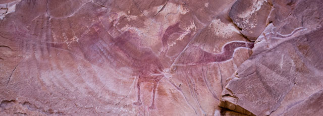
My first destination was a rock art panel that I have been meaning to get to for a while. I've driven by and near Black Dragon Canyon a number of times, but this time I would make it a point to check it out.
Pictographs in Black Dragon Canyon (unfortunately at some point in the past, someone thought it was a good idea to outline some of the pictographs in chalk).
After leaving Black Dragon Canyon and following the wash for a little ways, I met up with the ************** Benches trail and made my way down the spur that used to lead to Sulphur Springs.