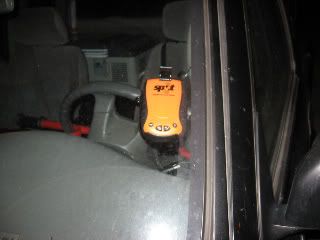
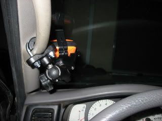
Wow, I had never heard of this thing before, and I'm a long...looong time GPS user. Like, before everyone had a Garmin Nuvi in their windshield. Like before the feds dropped Selective Availability on the GPS satellite net.
These are pretty cool.
I apologize for the thread jack but after reading about this thing, I wanted to throw out some lower tech ideas for some of the (ironically!) tech savvy to think about... sort of apropos of this rather neat device.
If some of you guys just want some tracking, and are willing to spend a little time and sweat (or you're just into these things), and your travels are mostly within cell phone range, you can cook up some home spun solutions which are pretty neat.
A few years ago I did a long Kayaking trip on puget sound and wanted people to be able to track my progress and position. With my trusty handheld gps device and my cell phone, I built a tracking solution using a small piece of software I wrote and google maps. Here's how it worked.
I wrote a small piece of software that ran on a server which was up and connected to the internet 24/7. The software monitored a special email account and looked for email messages with a specially formatted subject line.
While on my trip, I would send a text message to this email account. In the message, using my home-made formatting rules, I would send my latitude and longitude read off my GPS. The software running on the server would see the email come in (software polled the email account every few minutes) and would parse the latitude and longitude data, and build a small HTML file with a properly formatted google map string containing my latitude and longitude info. Then it would launch an external ftp script which would upload that HTML script to a public web page account. Any will do. I just happened to use my personal comcast web page account. Then, anyone who wanted to watch our progress would simply go to my homepage and they'd see a map with a flag on it showing our most current position.
I would send this text message out about once an hour. I was working on a version which would allow me to add comments to the message, and then my software would parse the comments and add them as an annotation on the google maps display. I never finished it because I got lazy but was was almost finished.
BTW: This message isn't designed to suggest that my system was better or should supercede a decision to by the SPOT device. My system was home made, only as reliable as your text messaging, not real time and is useless if you don't have cell coverage. I just thought that if someone didn't want to spend the money on SPOT and were into a little home made techery, it might be a fun project to take on.


